About SOMAMOUS
SOMAMOUS, Roof of Gilan province
Biography of Somamous Peak
Misconceptions about somamous
There have been several misconceptions about Mount Sumamos in the distant past:
A- Unknown (invisible)
1. In the article “Response to the critique of Gilgamesh’s article – the oldest human epic poem in Gilwa, No. 84”, the author writes in the footnote of the third issue of this article: “The highest mountain peak in the Alborz Mountains in Gilan 85 p. 44) .
2. In the dictionary of Gilaki dialect, along with Gilaki idioms and proverbs, in the explanation of the word Delfak, they write: Its height has risen to 3500 meters in (Gilan in the passage of time), 2770 meters in Bahler’s travelogue, (2400 to 3000 meters in Dolmabarz Rabino province) “(p. 213).
3. In the valuable book of letters and letters of Gilan, the esteemed researcher has stated in the definition of Dorfak: “Dorfak, Delfak is the name of one of the highest mountains of Gilan with a height of 3500 meters in Amarloo section on the east side of Sefidrood” (Gilkan, 1991, p. 240) .
4. In a new source such as the cultural image of Gilan Cultural Heritage, the compilation and compilation of the General Directorate of Education, Publications and Cultural Products of the Cultural Heritage Organization, 2001, which was published to get acquainted with Gilan and its sights for tourists and non-native readers, this mistake is seen. “One of the most important and high peaks of this mountain range is Delfak or Delfak mountains with a height of about 3500 meters in Rudbar city and Qatshkuh in Amlash with a height of about 3000 meters.”
5. In the book Gilan, Iranian Researchers Group, published in 1375, in the section on natural appearance, the morphological features of the mountain unit on the one hand “… in Gilan region, the highest peak is not more than 3250 meters (” North Talesh “) (” (page 77). On the other hand, in the highlands of Gilan, it is stated that: “The eastern border of these mountains is formed by Khoshchal mountain, the highest peak of which is about 3600 meters, which is the eastern border of Polroud catchment and the highest peak of Gilan province.” (P. 81) and it has not been announced exactly where this peak is.
6. In the book of geography of Gilan province, which is basically obliged to introduce the geography of this province to the children of this region, unfortunately, no information is provided about the high peaks of the province, and unlike the geography books of other provinces, it does not introduce the highest heights of the province to students.
7. In the book of the culture of the geography of the mountains of the country, as a reliable reference source about the mountains of Iran, despite mentioning most of the mountains of Gilana, the name of Mount Samamos is not seen (Volume 1, Geography of the Armed Forces), 1379
B- Samamos, Samamos (Samam Mous) or Samamoz (Samam Banana) and Samomoz?
Among many mountaineers and nature lovers outside the region and even between some people in East Gilan and West Mazandaran, the correct pronunciation of Mount Sumamos has significant contradictions. The problem with this contradiction is not only the lack of observance of the correct name of this mountain, but also the analysis of the word of this mountain.
In any keyword analysis, the first step is to record it correctly. That is, the basis of the work must be correct, when the keyword initially has difficulty registering, the challenge begins. A brief introduction is needed to interpret and analyze the Semamos dictionary. During the field survey on the name of Sumamous mountain in different areas in the east of Gilan and western Mazandaran, it was determined that this mountain is called Sumam, Sumamus, Sumamus, Sumomoz, Sumamoz. This has even been confirmed in a book written by some Ramsar scholars in recent years. Therefore, to analyze this dictionary, one should not base it on words with such pronunciations. Samamos, which is mostly used by Persian speakers and sources, is completely wrong. It is interesting to note that in the remaining memoirs and travelogues, the names of Mount Issam, Sumam Mountain and Sumamus have been mentioned many times. No Samamos! When the word Samamos is read with emphasis on conquest, it will undoubtedly be interpreted differently. It should be noted that not only is the pronunciation of s with a common misconception common, but also the interpretation of this word is worth pondering. Because a combination of Arabic and Gilaki languages is used to interpret this word. Sama means the sky and mouse means the abode, the abode of the sky! This glossary consists of two parts. What is certain is that there are several things in common between these recorded words, sumam, sumamus, sumamous, somomoz, somamoz, sin with the appendix, samam and banana or mouse.
C- The submarine of Sumamos peak
Among the people of Ramsar, especially those who go to Mount Sumamos, there is a tradition that is rooted in a misconception. Because fossils of oysters and coyotes are found on the summit of Sumamus, they believe that in the distant past, the water of the Caspian Sea was drawn to the summit of Sumamus. This is a misconception. This mistake is also due to the fact that the existence of oysters makes those who suspect that these oysters are the remnants of a sea that has retreated or dried up. If we want to analyze this issue briefly and simply, we have to deal with it this way. When we say that it was underwater areas of the sea. This issue has two forms. The presence of fossils in sedimentary rocks, which are usually formed in the marine environments of geological periods, is not strange, but the main point in this regard is that these sediments (sedimentary rocks) later rise in the form of mountains due to internal movements of the earth (tectonics). Thus, fossils such as oysters can be trapped deep in the sedimentary layers of the seabed millions of years ago and turn into fossils, rising with the action of later tectonic forces and turning into a mountain like Sumamos. But in another case, an area can be considered as a place under the sea. As we know, the surface of the seas, like the Caspian Sea, has fluctuated during different periods for various natural and human reasons. These fluctuations cause parts of the surrounding area to extend beyond the current coastal areas at submarine times and then emerge over time and after seawater retreats. Compared to the millennium, this issue is clearly seen in the presence of sediments and coastal sediments in the south of Rasht and the foothills of Gilan and Ramsar.
Sumamosa Sumamosa Sumamosa
The sea water is Oman Boumanos
O Sumamus, you are so tall
The sea water came there but did not go beyond it and stayed there and did not move forward.
D- Existence of Shah Kiai’s tomb on Sumamos peak
Regarding the tomb on Sumamus Peak, there is a narration attributed to Dr. Manouchehr Sotoudeh that neither Dr. Sotoudeh, who made such an assumption, provided documents for his claim, nor others who raise such an issue, so this attribution may not necessarily be correct. . The narration is that the tomb on the summit is the tomb of Shah Yahya (Karkia Yahyajan) of Sadat Kiai Malati. Apparently, this “Sihsar” is the “Sihsar of Khorramudasht” which is on the mountain of Samamos. Here is an old threshold that should be the grave of “Karkia Yahyajan”. But Seyyed Zahir al-Din did not mention Mount Sumamos and writes about it: “At this time, it was reported that on Tuesday, the 29th of Safar, in accordance with the seventh of October (year 884), the pure soul of Hazrat Shah Yahya was released from the physical cage. Congress “Reference to Rabak” sat. “According to the will he made, the deceased and the goddess Raja’un returned to the” Georgians “in a place known as” Sihsar “.” The most important reason that can be refuted for this claim is the impossibility of digging a grave in the heart of the rocky bed of Sumamos peak. In addition, this practice has not been seen mainly in the case of any of Sadat Kiai’s other and is unprecedented. Mostly Sadat and Kiai kings built tombs for the pilgrimage of the people and taking their body with a very long distance is far from the mind. Another issue is the anonymity of the tomb of Sumamus. Witnesses and natives of the region have always named this tomb after Shah Sumam and Sumam. Taqi Lapasari, one of the few people living near Sumamos, believed that until decades ago
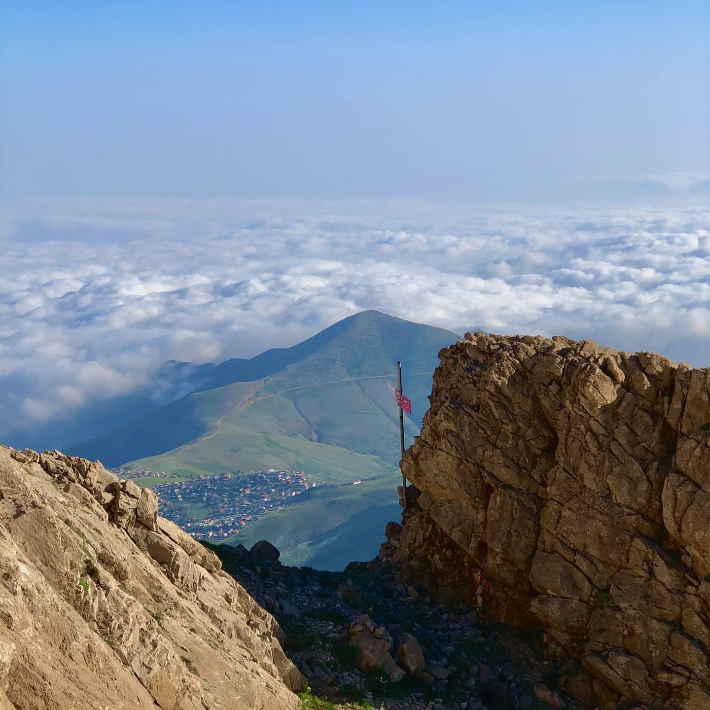
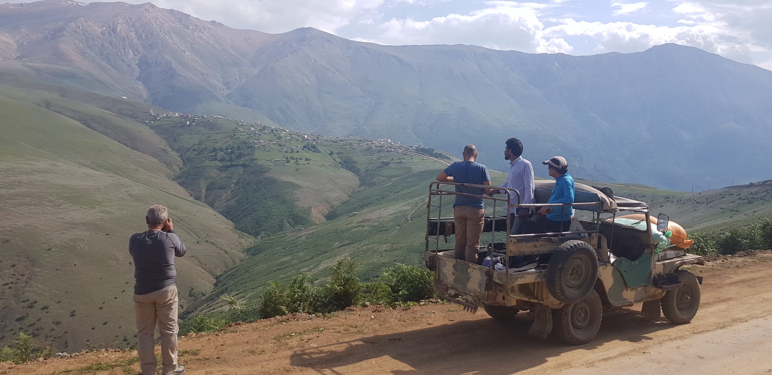
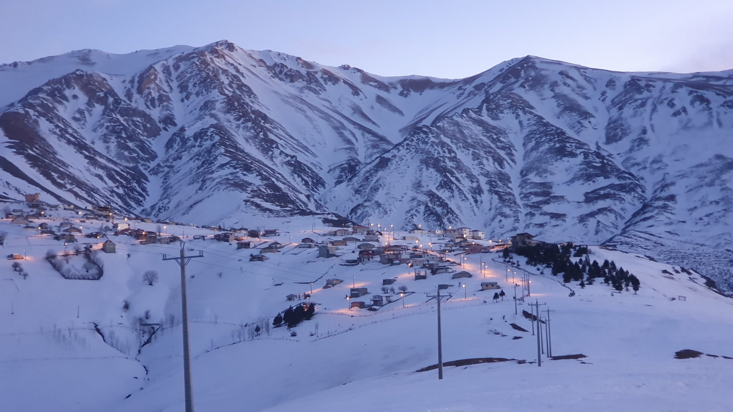

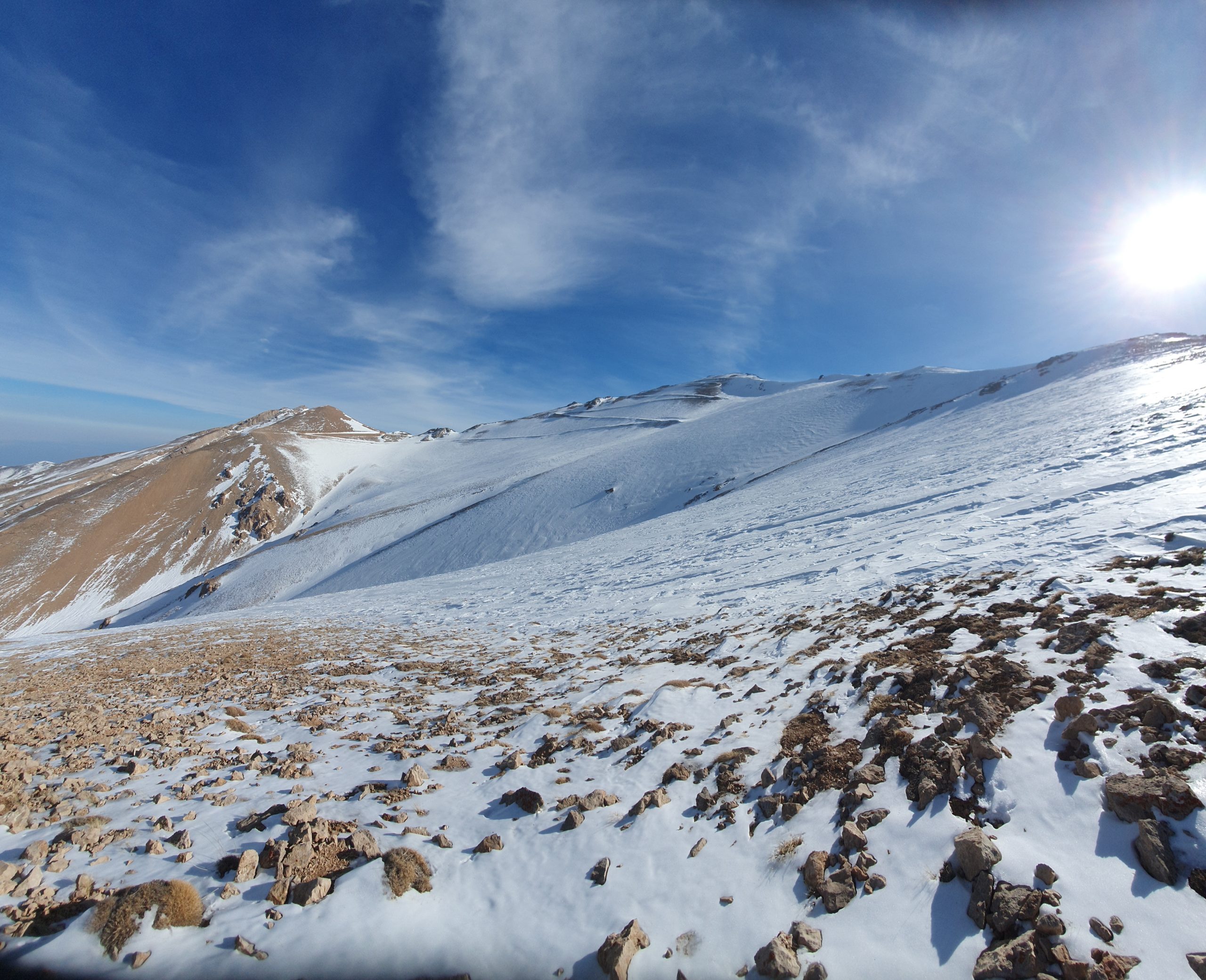
Geographical location of Sumamos mountain massif
Geographical location of Sumamos mountain massif
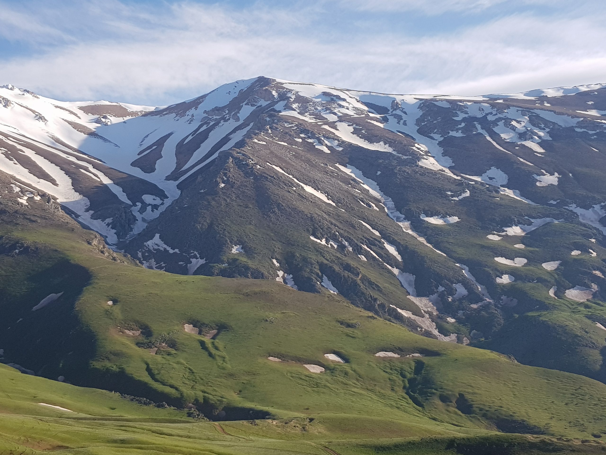
“Sumos”, “Sumam Banana”, “Sumam”, “Somomoz”, “Sumamus (King Sumam)”, “Black Suma” , what are these names due to the differences in the dialects of Gilaki speakers in different parts of Gilan and Mazandaran And in the end, the different names are all the names of the mountain that is better known today as Sumamos (although unfortunately among many people the name of this mountain is called Samamos with the conquest of Sin). Sumamos mountain is located in western Alborz. However, from the point of view of height, this mountain is not necessarily a significant mountain of Alborz peaks, even in the western Alborz. However, the natural and human conditions and features of this mountain have made it very famous. One of the reasons for this fame is the location of this peak in the position of the highest peak in Gilan province. This mountain is located in the east of Gilan province, bordering Mazandaran province and between the cities of Ramsar, Chabaksar, Vajargah and Rahima Abad, with the position of “26 50 50 ° 36 north latitude and 303 23 23 ° 50 longitude east”. Sumamus, with a height of 3703 meters, has three peaks called the nomad of Sommus (Sumamus) and the elephant of Somomus (Sumamus), Koch Sumomus (thirty backs) (Figures 5, 6 and Table 1). Jurdasht settlements (Javaherdasht) in the north, Vaparsar, Chalmroud, Nilo, Zorzumeh, Jirkol, Sajiran, Garmabdasht, Limaguabar, Lima, Limaguabar, Limachal, Tarpo, Darreh mill, Kanki, Absh, Kunak, Nank Pahlo, Suleiman Chapar, Cheshan, Surkhani and Parchkuh in the west, Yasur, Delijan, Siavash Kooh, Orkum, Shahraj, Arus Mahalla, Gorjan Su, Chakan, Qazi Chak, Vishki, Jurdeh and Jirdeh in the southwest, and the villages of Jodar, and the villages of Sodar and Gordeh Jurdeh (Jewel) are located in the east and southeast. In addition to these settlements, dozens of Galshi palaces and famous summer areas are located on the slopes and ridges of this mountain, the most important of which can be Galshi palaces such as Lapasar, Dagholeh, Rizinehbon, Miankalam, Azardreh, Sinchak, Sinchak, Minaksh, , Pas Klasi and Haftkhani which are from the summer and south of Mount Sumamos and also in the northern slope from west to east can be found from the summers of Rash, Vanhsan, Jumhokoneh, Alamsara, Jorklamchal, Espithalghat, Zonlat, Zonlat, Zonlat He named Kilashpushteh, Rogani, Sotehpeshteh, Kalkuh, Minsara and Zarkamos. In the mountainous mass of Sumamos, there are rocks that are famous for their shape, which can be from “Shirkesh” on the way to Jurdasht (Javaherdasht) to Tokhosar near the hill of Samamos, “Gishehtaleh” and “Naqarehteleh” in the south of “Charbhal” The east of the hill of Sumamos in the northwest of the river and the “arrow of the stone” on the way from Sumamos to Bozabon. In addition, there are two thresholds on its two main peaks. Seyed Ali threshold and the other threshold on the highest point of its western ridge, on the mountain behind.
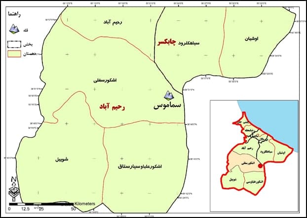
From the geopolitical point of view and administrative divisions, the peak of this mountainous massif is located in the Rahimabad section of Rudsar city, in the lower Eshkor district. The different parts of this mountain massif have been spread in different villages, with the explanation that entering into the delimitation issues of the section and the village, the city, is not worthy of a natural system like the mountain. Its northern slopes are located in Siakhlorud and Oshian villages of Chabaksar section, and parts of its eastern and southeastern slopes are located in Mazandaran province, Ramsar city, Sakhtsar and Jantrudbar villages.
Political-administrative divisions and the location of Sumamos peak in it (Source: Guilan Province Program and Budget Organization).
Samamos in the official divisions of the country
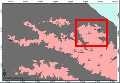
Sumamos is a relatively separate mountain massif. Due to the relative separation of the main body and ridge of the Alborz and its protrusion around the Caspian Sea, its unique shape shows itself, especially in most areas of the Gilan plain in the center and east (Figures 13, 14 and 15). This solitary mountain massif, on its northern slope and front, reaches the low-lying shores of the Caspian Sea without any other geographical features. This issue has caused the northern front of this mountain with a difference in height and profile of about 3800 meters, to be different from all mountains in the Alborz mountain range from Astara to Gorgan. From the point of view of an observer in the plains, such a face is seen in less mountains. From the west of this mountain, it leads to the deep valley of Polrud (Eshkor region) and from the east, it also leads to Chalkrud valley. Therefore, from the three faces of north, east and west, this mountain mass is free from the main body of Alborz. Only in a small part of the southeastern slope, this mountain range is connected to the main body of Alborz by connecting to Bozaban Mountain. This geographical and topographic feature can be clearly seen in the maps, satellite image and landscape of this mountain from different areas of Gilan plain.
Topography (unevenness)
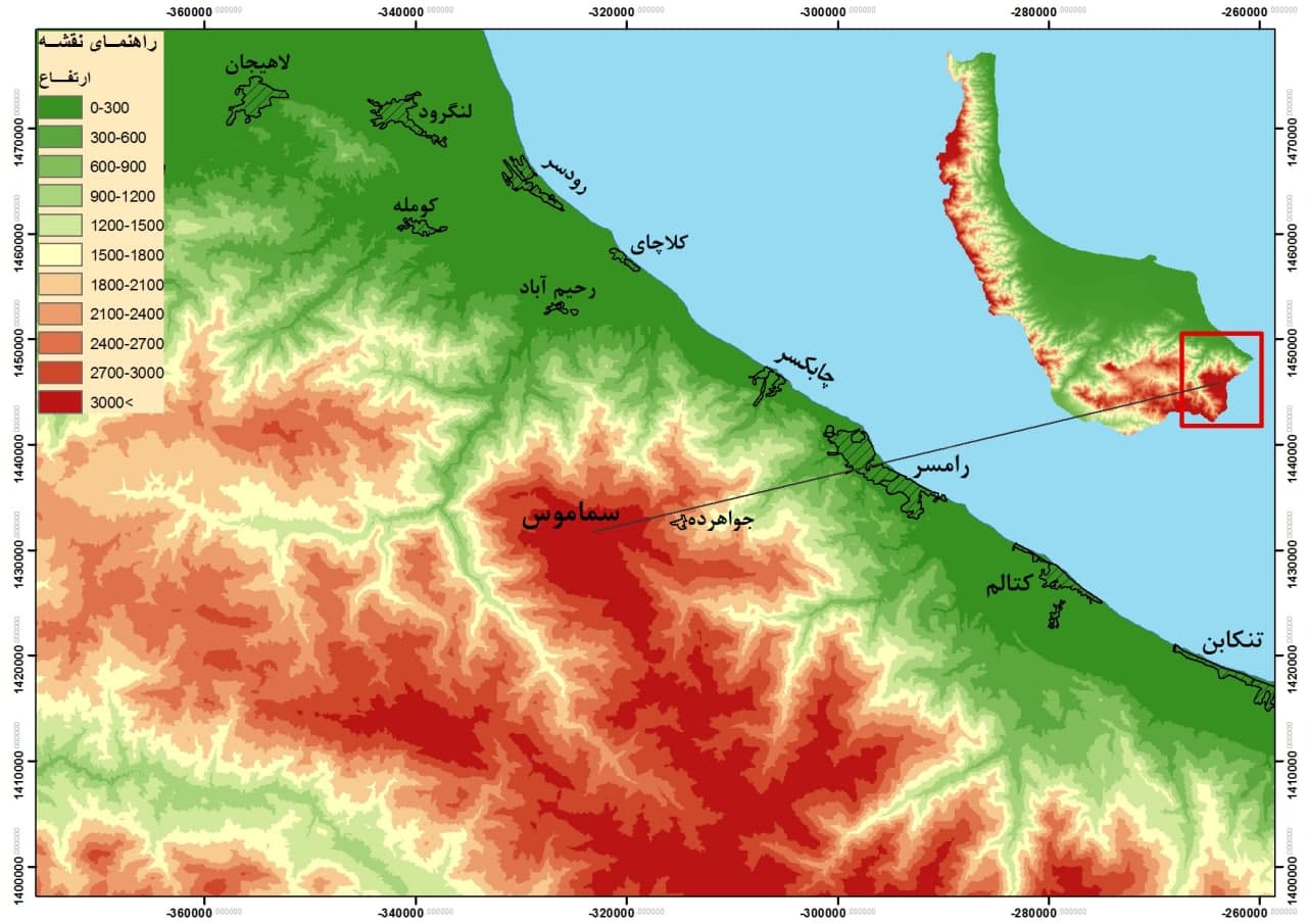
The area of Mount Samamos includes rugged, rugged heights, with narrow and deep valleys. This mountain massif has the closest distance to the Caspian Sea between all the mountains above 3000 meters in the Alborz mountain range. Its distance is in a straight line from the top of the mountain to the shoreline of the Caspian Sea 24 km. کی The proximity of this mountain to the sea shows the very steep slope of this massif towards the sea (north) in a short distance and severe altitude changes in this area. Samamos tributaries of the water distribution line between the river basins of west Mazandaran and east of Gilan, Dragon, Safarud, Chalkrud, Kakrud, Khoshkrud, Kokrud, etc. are. Sumamous mountain massif is a composite anticline, its general axis can be seen from the side southeast of Rahimabad-Ishkour road in Garmabdasht settlement in Polrood valley to the northwest of Ramsar-Jordeh road (Javaherdeh) in Saffarud forest forest park Is ) followed. The axis of this anticline has an arc shape that is convex to the south. As its axis extends from Safarud Forest Park in the direction of Northeast-Southwest to Sumamos Peak, the peaks of Chahalsar, Peshtavar, Arksar, Gabon, Rorbaksh are located on this ridge. The site of the Ziaz tunnel on the Eshkor road is stretched and the peaks of Tokhsar, Rizhibun and Sipusht are located on it. The main peak of Sumamos is located at the top of this arch. This composite anticline is broken by dozens of faults of different types and in different directions vertically or parallel to the axis of the anticline. This issue plays an important role in shaping the topography of this mountain massif. Among these, two faults are the most important. These two faults have caused the elevation of this mountain massif. The first fault is the Sumamos thrust, which starts from the south of Jordasht village (دور Shepherd’s crossroads) and creates a fault wall and precipice in the east-west direction at the north-northwest edge at the end of Samush basin. The stone precipice The fault extends to the south of Sajiran village ..
The type of geological formations of Mount Sumamos is another influential factor in the formation of the topography of this mountain. A large area of the western slope, southwest of Mount Sumamos (Eshkoor Road) is formed by the constellations of the Jewel Conglomerate. In many areas, such as around the settlements of Lima, Lima, Gwaber, Kakrud and Jordeh, outcrops and rocky precipices are formed by this geological unit. But limestone formations form huge rocky precipices along the entire ridge ridge of the western slopes of Mount Samamos, especially in the eastern settlements of Limachal, Tarpo, Ab Debuchal and north of Kakrud, and even the entire southern slope of the Sumamos massif. Thus, part of the slopes of Samamos ends in rocky cliffs, despite the existence of relatively flat ridges and terrain south of Sumamos. In the place of Kalam Daghuleh, southwest of the main peak of Samamos, several seasonal lakes form from the water of the surrounding peaks in spring. The peaks enclosing this sloping ridge are between a mountain, all of which is 3,000 meters above sea level, including Sumamus (703703) ل and Laznachak (3349) in the east, Sotehsara (123123) , and Haftkhani (3064) in the south and south (1164). And Sorkh (2778) in the west and Kashkhi mountains (442744) Shirpashteh (223022) Rizinehbon (2988) Tokhoosar (323332) in the northwest and north .Due to the predominance of Jurassic gray limestone formations and Cretaceous orthobulinized limestone in the southern slope and due to the development of lime dissolution in this area, we see the formation of canyon valleys in this part of the foothills of Mount Sumamos. One of the most famous of them is the valley of Shilisra on the way from Pascala to Lapasar.
The continuation of the ridges of Mount Sumamos towards the Caspian Sea forms a series of forested mountains, which are described as flowing from the east of the province on the border of Mazandaran to the west to the valley of Polroud as the final natural boundary of the ridges branching off from Somamus. These mountains include the southern highlands of the eastern regions of Gilan in Chabaksar, Oshian, Qasemabad, Siakhlorud, Vajargah and Rahimaabad. One of the main ridges of Sumamous mountain is the ridge that branches from the northeast of the peak and ends to Ilmili mountain on the border of Gilan and Mazandaran, this ridge forms between Safarud Ramsar and Achiroud (Achroud) rivers. Its mountains include Vazhk, Arksar, Pashtavar, and Chahalsar, respectively. Another ridge of the same ridge is stretched from Mount Arksar in a northwesterly direction to the south of Lower Qasemabad, on which Tamshehkuh (Tamasha Mountain) is the first mountain of Gilan in the east of Gilan in the heights without forest cover. Its height is 2410 meters and the summer of Tamshkooh is located in the north of it. After Tamshkooh, the ridge ends in the mountain of Khanmagardan, the settlements of Kishmet (and Jirdashtan is located in the north of it). Continuing this ridge, it reaches Tarmukuh mountain at an altitude of 1714 meters. The above mountain range is a tributary of Achirud and Khoshkaroud rivers. After climbing the mountain, the ridge reaches the peaks of Gishar Pil and Gishar Koch by decreasing the height by about 400 meters The northern front of Gishar Mountain leads to the Black Valley of Qasemabad with a clear and steep slope. On the face of the Alborz Mountains, the first mountain of Gilan province is 377 meters west of the Surkhani River. Continuing to the north, it reaches Shahsarmas mountain at a height of 482 meters in the western part of Sarulat village. Other mountains include the Lajinki, Telesar, and Ajqleh Gardan mountains, located between the Mersarud and Kushkuh rivers, which are located in the south and southeast of the village of Gozlobun. These mountains are located on the ridge that extends from the north of Jordasht (Javaherdasht) and Noghra Abbas with an almost north-south direction. The last mountains of the region before reaching the valley of Polrud Zabileh Gardan, in the west of Gaj Mohammad Gavabar and Qaleh Gardan in the southwest of Gosfandgoyeh.
Due to the above conditions, due to the fact that Mount Sumamos leads to deep valleys such as Pulrud (Eshkor) in the west, Kakrud and Tokamjan in the south, Chalkrud valley in the eastern and southeastern slopes, as well as the uninhabited front of Shakas and Rudpayl in the north. It has given mass and plateau. In creating these massifs and plateaus, two other points must be considered: the sharp and rapid difference in altitude in this mountainous massif, for example, in the northern face, which reaches about 3800 meters, and also the plain-like state in parts of this mountainous massif in its south ( There are scars). So a look at the topographic map and its slope or its satellite image shows this perfectly.


